
c. 150 CE / West Asia & North Africa
Ptolemy calculates the sky with geometry
The Almagest combines observations, a star catalogue and geometric models to predict celestial positions within a stationary-Earth framework.
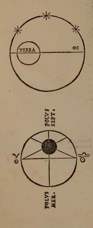
Image unavailable. The caption and source are still available.
The story
Working in Alexandria, Ptolemy used earlier material alongside his observations. Deferents and epicycles modelled apparently irregular planetary motion. The later rejection of his cosmic framework does not erase its computational value. Arabic-speaking scholars preserved the text while also criticizing its models and physical assumptions.
Connections and context
Al-Tusi, Copernicus and Kepler all faced the problem of predicting the sky. Their changes involved data and motion, as well as cosmic arrangement.
Dates and precision
c. 150 CE Approximate year
An estimated date from the surviving evidence, not a claim about one exact year.
Representative map location
Alexandria
Ptolemy's known city of observation, not the reconstructed position of a particular observatory.
Representative coordinates · 31.2°, 29.92°
A marker identifies one representative place, such as a manuscript collection, laboratory or observing site. It does not mean the work happened only there, or assign a shared discovery to one country.
Bibliography
- University of St Andrews, MacTutor | Ptolemy and the Almagest
- NASA Goddard | History before 1600
References are listed as plain bibliography titles. They support particular facts or context; a reference does not certify every interpretation in a story.